

Getting Here
If you’re flying into SEA Airport, you couldn’t ask for a better connection to the city: the airport’s Link light rail station is an easy, covered walk or roll from the terminal. Trains leave every eight to ten minutes most of the day, and connect to a large and growing network of Seattle’s most enticing neighborhoods (see below). It takes about 40 minutes to get from the airport to downtown, which is quicker and cheaper than rideshare.
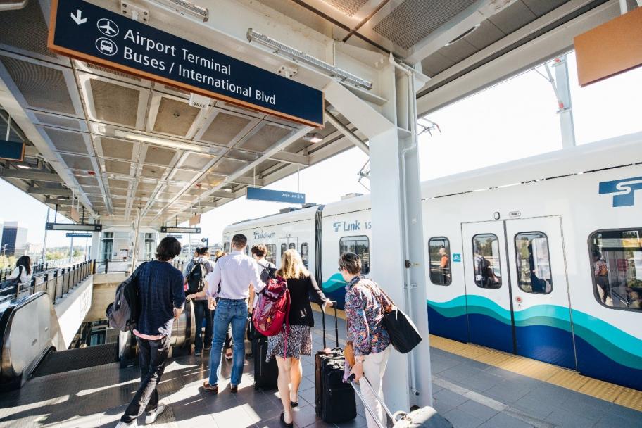
Link light rail is the way to go if you’re landing at SEA Airport. courtesy Sound Transit
Not flying? Consider a train. Amtrak trains arrive at King Street Station every day from Los Angeles, Chicago, Eugene, and Vancouver, B.C. – with more local Sounder trains coming from cities between Lakewood and Everett.
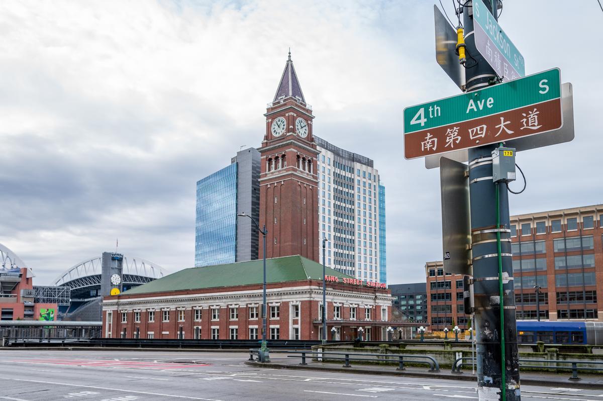
Taking a train to King Street Station puts you right between Seattle’s stadiums, Pioneer Square, and Chinatown-International District – an incredible landing spot. Photographer: Rachael Jones
Bus options also abound, whether you’re looking for long-distance transportation on operators like Greyhound and Megabus, or regional transportation on King County Metro, Sound Transit, Pierce Transit (Pierce County), or Community Transit (Snohomish County).
Seattle’s many water transportation options should come as no surprise, with multiple daily ferries to Downtown Seattle from Bremerton and Bainbridge Island, and to Fauntleroy from Southworth and Vashon Island. Water taxis and fast ferries also connect destinations in King and Kitsap Counties, and if you’re coming from Victoria, B.C., consider the FRS Clipper.
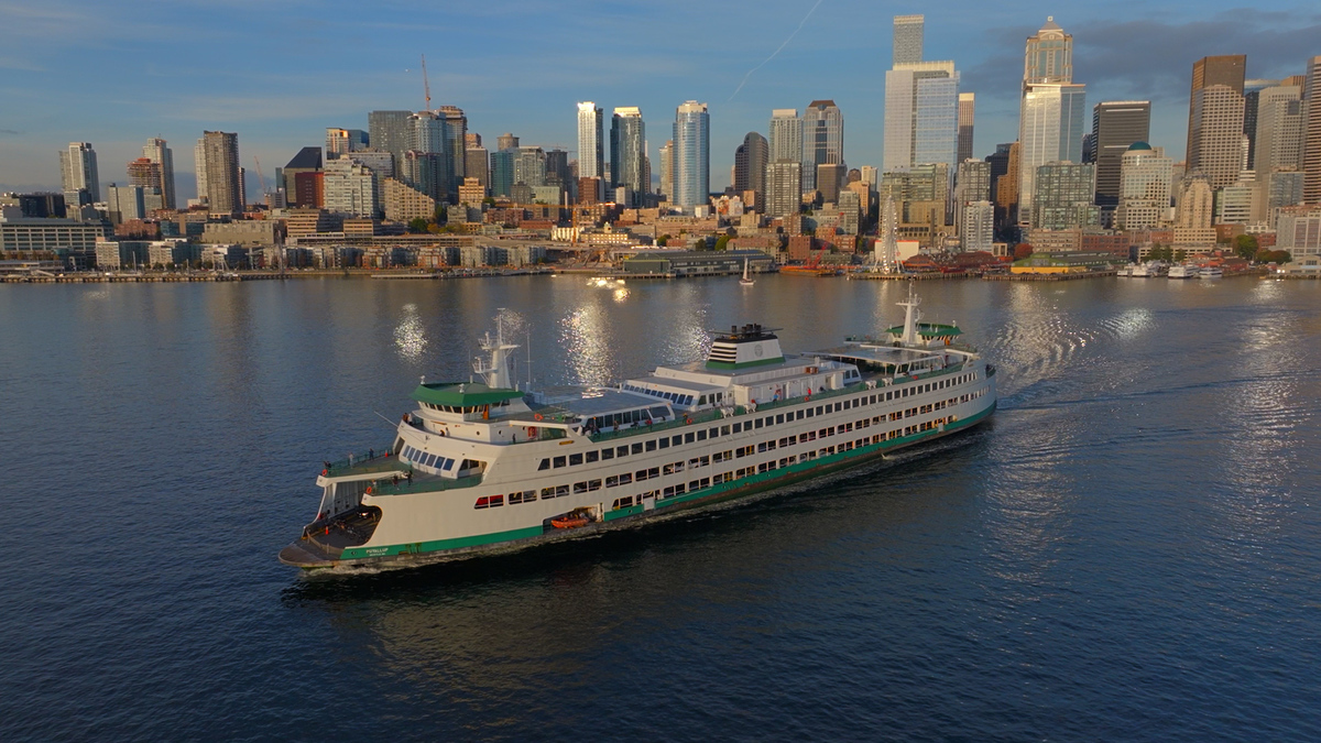
Taking the ferry is a must-do, and a great way to arrive in Seattle.
Arguably, the most incredible way to land in Seattle is by seaplane. Kenmore Air, Harbour Air, and Friday Harbor Seaplanes fly from locations across western Washington and Canada.
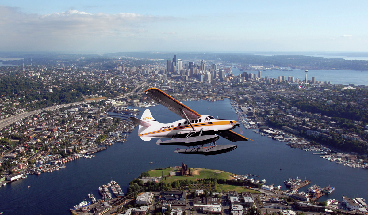
Seaplanes offer unparalleled views of the islands and waterways we’re privileged to call home.
Neighborhoods to Explore
Seattle’s coolest neighborhoods are well-connected to transit. Among them are the downtown neighborhoods served by the Seattle Streetcar, not to mention the broader network of neighborhoods along the Link light rail. If you’ve got some flexibility deciding where to stay, consider neighborhoods that fall along those maps.
The closer you are to downtown, the more transit options you’ll have, especially in immediately adjacent neighborhoods like Pioneer Square, Capitol Hill, and South Lake Union. That said, there are several charming neighborhoods further out with great connections. University District, Beacon Hill, and Columbia City all fall along the light rail and offer fantastic parks, cafes, bars, and shops.

The Beacon Hill light rail station is just steps away from blocks of popular shops, bars, and restaurants.
You could also target one of Seattle’s many sought-after neighborhoods served by fast and frequent RapidRide buses, like hip Ballard, leafy Green Lake, quiet Madison Valley, and grungy White Center. West Seattle is another fantastic option, with not only its own RapidRide line, but its own water taxi and ferry terminal.
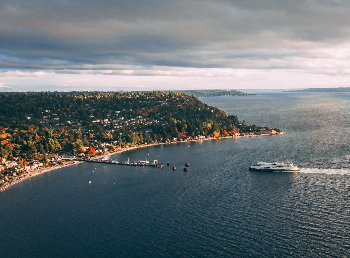
Seattle’s cutest bus stop? The RapidRide C line drops you right at the cozy Fauntleroy ferry terminal next to Lincoln Park in West Seattle.
Pro tips:
- Use the OneBusAway app to see how far away your bus is from a selected stop.
- Don’t forget to check the distance and elevation between your lodging and the main transit stop(s) you’re planning to use. Parts of Seattle are hilly, and AccessMap comes in handy if your navigation app doesn’t show elevation.
- Download the Lime app if you plan to use the many e-bikes and scooters scattered around Seattle. It’s the city’s most prominent operator.
Payment
Welcome news to visitors: you can use an ORCA card on all of Seattle’s transit systems. If you’re planning to take transit for more than one day, I recommend either purchasing an ORCA card in person – they’re available at the airport light rail station – or ordering one before your trip.
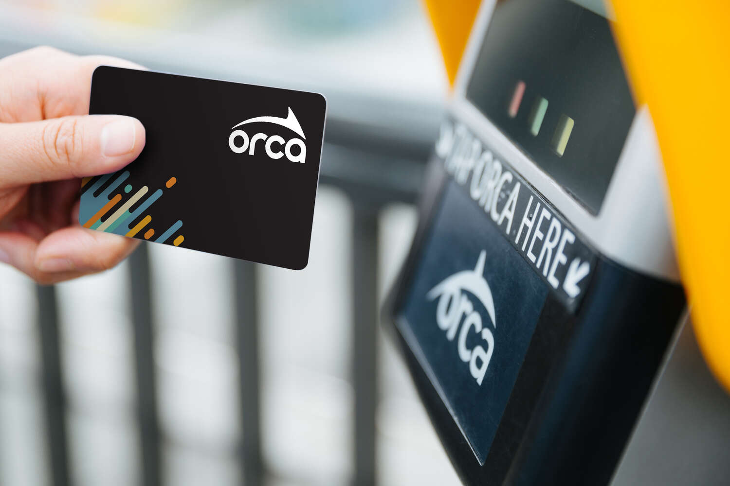
Carrying an ORCA card makes it easy to get around town, whatever transit system you use.
No ORCA card? No problem. Use the Transit GO Ticket app to buy day passes or single ride tickets for the same price.
Good to know:
- Visitors 18 and under ride all Seattle transit systems for free.
- The Seattle Monorail is privately operated and charges a $2.00 fee for kids 6-18. Kids 5 and under ride free.
- The Washington State Ferries do not accept day passes.
